Make spatial information useful across council
GIS Pro helps local governments connect spatial data, field activity and operational systems so planning, assets, works, environment and management teams can access dependable information through tools suited to their roles.
Connected Council Information
Bring priority spatial information together across planning, property, assets, infrastructure, environment and corporate systems.
GIS for Every Role
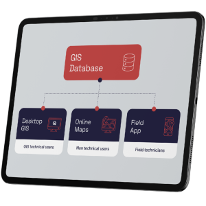
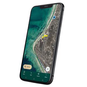
Provide advanced desktop tools, focused web maps, field applications and dashboards according to how each team works.
Practical, Cost-Aware Growth
Improve the highest-value workflows first, then expand access and capability as council priorities, capacity and budgets evolve.