Bring spatial insight into everyday business operations
Use GIS to support coordination, project visibility, and smarter decisions across teams and stakeholders — not just in a specialist GIS function, but across the whole organisation.


Bring spatial insight into everyday business operations
Use GIS to support coordination, project visibility, and smarter decisions across teams and stakeholders — not just in a specialist GIS function, but across the whole organisation.
For many corporate organisations, GIS is used by one or two specialists while everyone else works around it. Teams request maps by email. Managers export spreadsheets. Operations staff work from static plans. The spatial intelligence that could be informing decisions sits locked in a tool that most staff cannot access.
The cost is not just inefficiency — it is decisions made without the location context that would have changed them.
We start by mapping how location information currently flows — and does not flow — across the organisation. This identifies where GIS could add the most value and what the highest-priority use cases are.
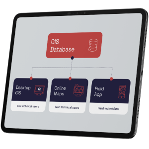
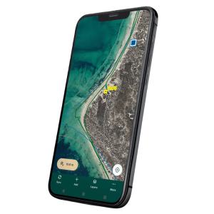
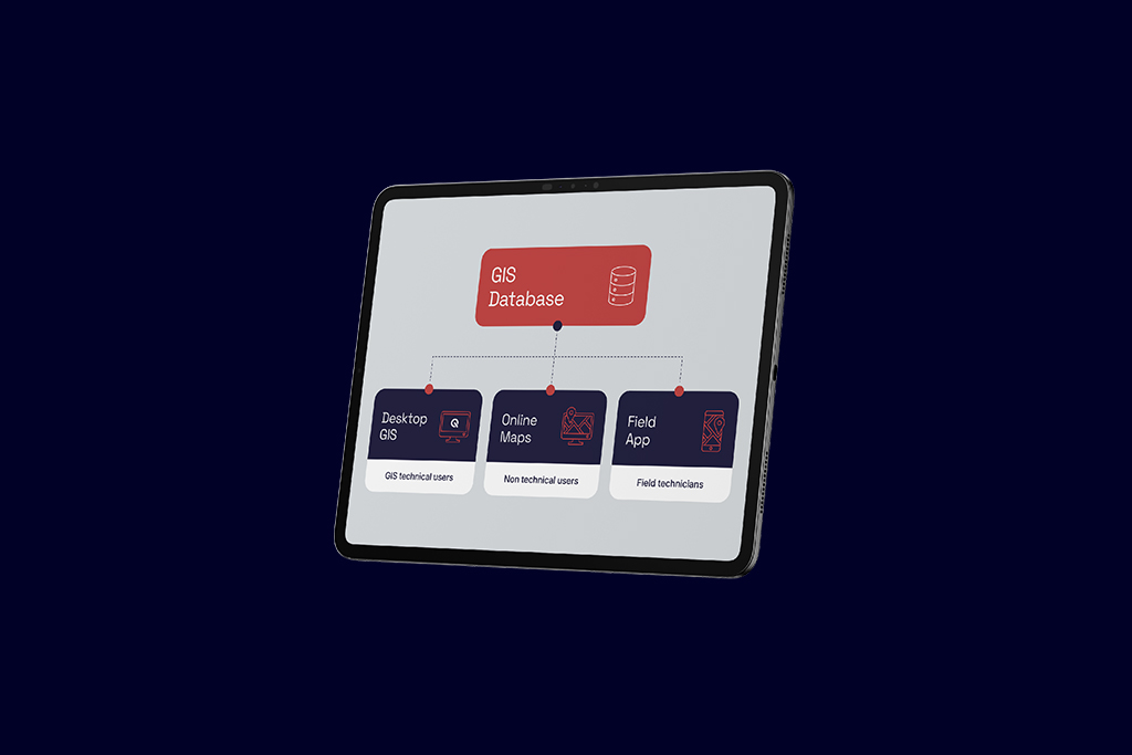
We design GIS environments for use across every role level — self-service web maps for operational teams, mobile apps for field staff, dashboards for management — so GIS becomes a cross-department platform, not a specialist tool.
We connect GIS to the systems around it — ERP-adjacent platforms, asset management, third party database — so spatial data flows across the organisation rather than living in a silo.
Centralised spatial view of property boundaries, lease areas, assets, and infrastructure — connected to your property management and asset systems so records are always current and locationally accurate.
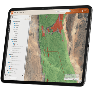
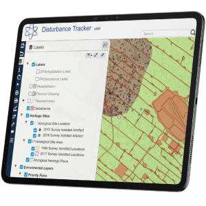
Browser-based maps giving operations, logistics, and project teams visibility of what is happening on the ground — without needing GIS expertise or specialist software.
GIS as the spatial layer across your business — linking systems, authoritative data sources, and operational teams so location information flows across the organisation rather than living in a silo.
Spatial dashboards for leadership teams combining maps with operational metrics — supporting planning, compliance reporting, and strategic decision-making.
Long-term embedded GIS partnerships where we act as your GIS function — taking ownership of the enterprise GIS environment, providing ongoing support, and evolving the platform as your needs change.