Technology and Partnerships

Bushfire Pro

We built our own specialised GIS SaaS platform

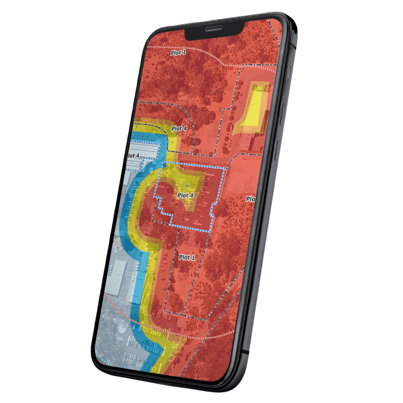
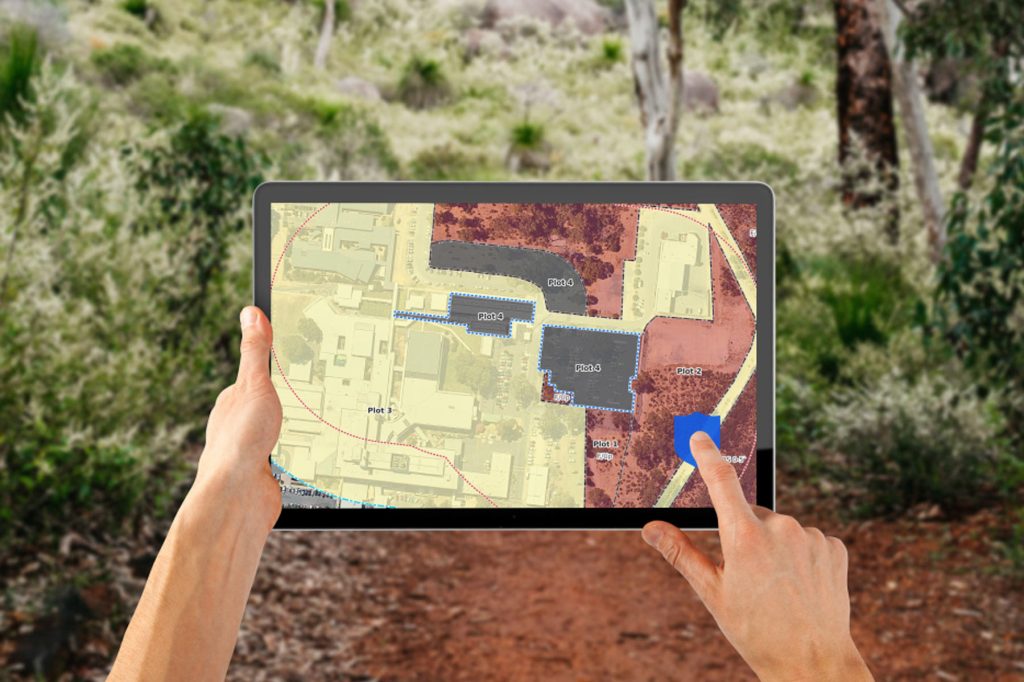
Bushfire Pro is a cloud-based spatial application designed, developed and operated by GIS Pro for bushfire practitioners, building surveyors and fire engineers.

It transforms a complex professional assessment workflow into one focused system for mapping, analysis, project management and map production.

Purpose-built for bushfire assessment

From site mapping to professional assessment outputs

Bushfire Pro brings the key spatial components of a bushfire assessment into one online workflow.

Changes to vegetation, plots, slopes or APZs can update connected spatial outputs without rebuilding the project across several separate applications.

Bushfire Pro is not a generic web map adapted for bushfire work.

It is specialist GIS software built around the way bushfire assessment professionals actually work.

What building Bushfire Pro demonstrates

GIS Pro can take a spatial workflow from idea to operating software

GIS Pro does more than configure existing GIS products.

With Bushfire Pro, we identified a repeated industry problem, designed the digital workflow, developed the spatial application and continue to operate and improve the platform.

The product combines:

  • browser-based spatial editing
  • automated spatial calculations
  • structured data-entry workflows
  • project and user management
  • document and photograph handling
  • professional map generation
  • cloud hosting
  • subscription access
  • customer support
  • ongoing product development

Building a prototype is one challenge.

Operating a product that professionals use for real project work requires a different level of discipline.

It requires GIS Pro to manage usability, spatial accuracy, performance, security, support, releases and long-term product improvement—not simply deliver the software and walk away.

What this means for GIS Pro clients

We understand both GIS consulting and GIS product development

Bushfire Pro gives GIS Pro practical experience across the full lifecycle of a spatial application:

  • understanding specialist user requirements
  • simplifying complex GIS processes
  • designing software for non-developers
  • connecting maps, databases and business rules
  • automating calculations and outputs
  • operating cloud infrastructure
  • supporting active users
  • prioritising improvements
  • maintaining a product over time

This experience strengthens the systems we build for mining, environmental, corporate and local-government clients.

A repeated spatial process may not need to become a commercial SaaS product. But it may benefit from the same product thinking used to build Bushfire Pro.

GIS Pro can help turn fragmented or manual workflows into:

  • focused internal web applications
  • spatial data-entry systems
  • approval and compliance tools
  • operational dashboards
  • automated reporting processes
  • client and contractor portals
  • specialised GIS software

Bushfire Pro is proof that we can move beyond analysis and configuration to build a complete spatial product that remains useful after launch.