GIS Pro is a Mergin Maps Partner
GIS Pro helps organisations design, implement and support field data collection workflows that connect directly with their wider GIS environment.

GIS Pro is a Mergin Maps Partner
GIS Pro helps organisations design, implement and support field data collection workflows that connect directly with their wider GIS environment.
Mergin Maps is developed by Lutra Consulting a specialist open-source geospatial team and supported by an international network of partners. GIS Pro represents that ecosystem locally in Australia.
We provide:
This matters because a successful field-data system requires more than installing an application.
The project structure, forms, validation rules, permissions, background data, synchronisation process and office workflow all need to work together.
GIS Pro helps organisations turn Mergin Maps from a mobile application into a dependable field-to-office process.
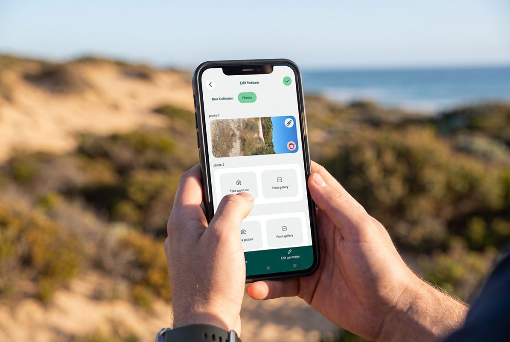
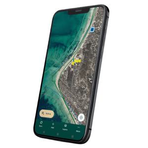
Mergin Maps is a field data collection platform built around QGIS.
Based on our experience implementing mobile GIS workflows in remote and operational environments, Mergin Maps is our preferred solution for QGIS-based field data collection.
We consider it a dependable and practical platform for organisations that need structured field capture, offline operation and reliable synchronisation with their wider GIS environment. Its close integration with QGIS allows field projects to use the same data structures, forms, symbology and validation rules maintained by office GIS teams.
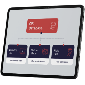
GIS teams can prepare project layers, forms, symbology and validation rules in QGIS and make them available to users through the Mergin Maps mobile application.
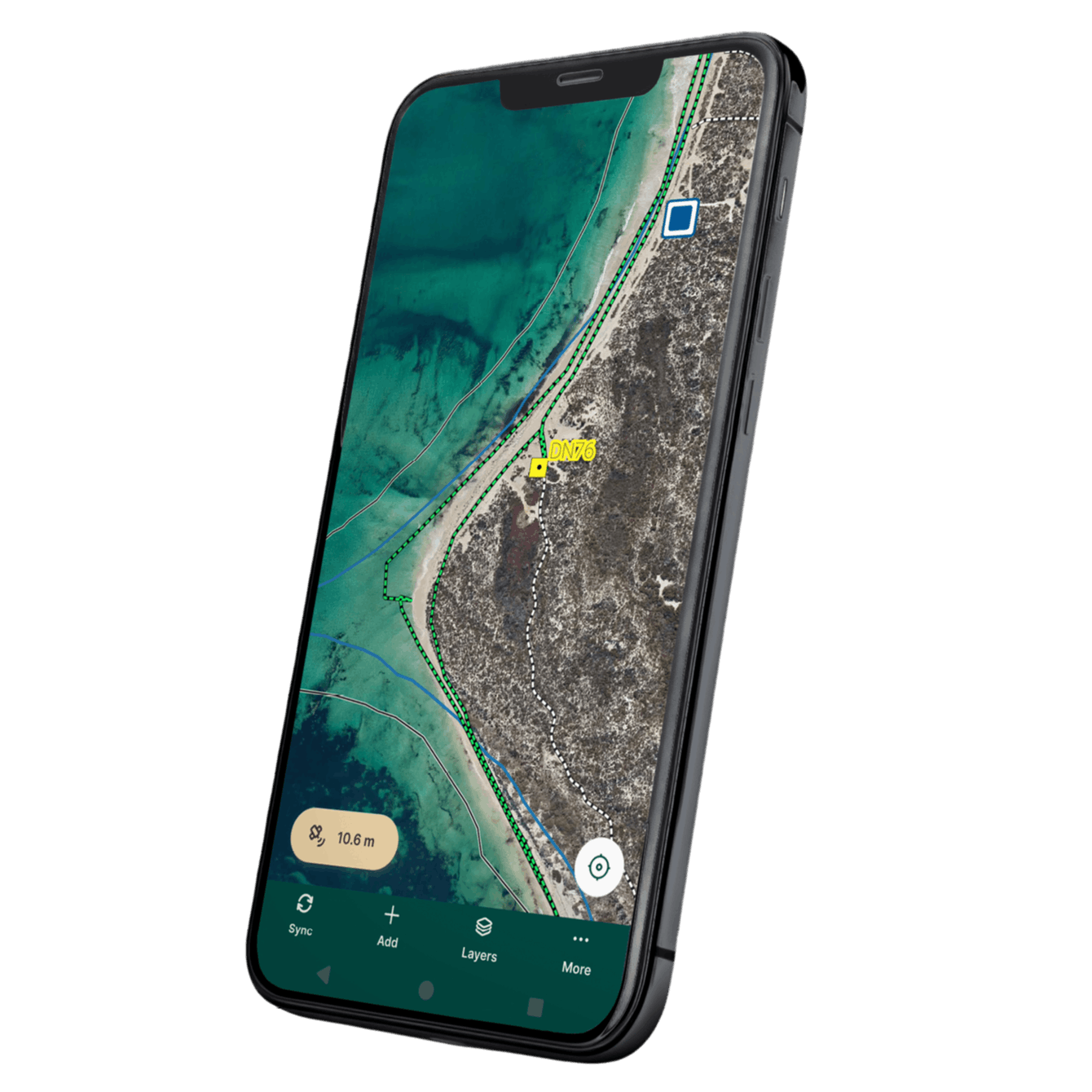
Field users can then view maps and capture or update spatial information using a smartphone, tablet or compatible device.
Mergin Maps is powerful, but the application is only one part of the solution.
A successful implementation also needs:
Without those foundations, a field project can work during a pilot and fail when it is deployed across a real operation.
GIS Pro designs the complete workflow:
Capture → Validate → Synchronise → Review → Report
The result is not simply an installed application. It is a field-data process your organisation can depend on.
Your GIS team designs the data collection project in QGIS — the same environment they already work in. Forms, layers, symbology, and data structure are all configured in QGIS and deployed directly to field devices.
Field teams open Mergin Maps on a tablet or smartphone. They see the same maps and forms configured in QGIS, capture data , take photos, and fill in required fields — all without needing mobile coverage.
When connectivity is available, Mergin Maps synchronises collected data back to the central database. Office staff see field updates in near real time, and the data is immediately available in QGIS and connected systems.