Industries

Local Government

Make spatial information useful across council

GIS Pro helps local governments connect spatial data, field activity and operational systems so planning, assets, works, environment and management teams can access dependable information through tools suited to their roles.

Connected Council Information
Bring priority spatial information together across planning, property, assets, infrastructure, environment and corporate systems.
GIS for Every Role
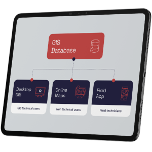
Provide advanced desktop tools, focused web maps, field applications and dashboards according to how each team works.
Practical, Cost-Aware Growth
Improve the highest-value workflows first, then expand access and capability as council priorities, capacity and budgets evolve.

The Problem

GIS is expensive to scale and hard for non-specialists to use.

Local governments manage a large volume of spatial information — properties, roads, drainage, vegetation, assets, permits, and more. In many councils, this information is scattered across different systems, folders, and websites, making it hard for staff to get a clear picture of what is happening on the ground.

The problem is compounded by systems built for GIS specialists — tools that planners struggle with, field crews avoid, and executives cannot self-serve. GIS capability stays locked in one team while the rest of the organisation works around it.

Budget pressure adds another layer. Traditional GIS licensing models charge per user, making it expensive to extend access beyond a small specialist team. This keeps GIS from becoming the cross-department tool it should be.

How it works

How we approach local government GIS

1

Understand the council's priority use cases

We start by working with key stakeholders across planning, assets, works, and environment to understand where GIS would deliver the most immediate value — and where the biggest friction points lie today.

2

Design for every user, not just the GIS team

We design the GIS environment around each user type — simple web maps for planners and engineers, mobile apps for field crews, dashboards for management — so adoption spreads across the organisation, not just within the GIS team.

3

Implement in stages

We take a staged approach so the council sees value early and the system grows with confidence. We start with the highest-priority use cases and expand from there.

4

Train, support and continue improving

We provide practical training for each user group and ongoing support after go-live, so the system is embedded in daily operations — not just demonstrated and forgotten.

Key capabilities

A connected spatial environment built around council operations

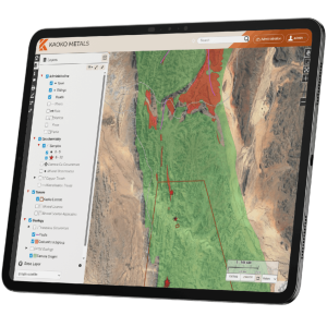
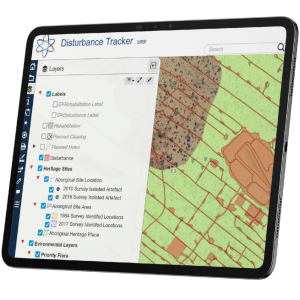
Access to planning zones, constraints, development applications, and environmental layers from a browser. Print maps for briefings and reports in one click. No specialist GIS software required.

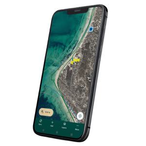
Mobile apps for asset inspections, graffiti reporting, maintenance recording, and environmental monitoring — with offline capability and automatic sync to the central database.

Dashboards combining maps and operational metrics to track capital projects, asset condition, maintenance activity, and service delivery — without needing GIS software.

Public-facing portals sharing selected spatial information — paths, parks, planning proposals, environmental projects — keeping residents informed and reducing incoming enquiries.

Built on QGIS and open-source platforms, our solution lets councils scale access to as many staff as needed without per-user licensing costs. Full data ownership, no vendor lock-in, and the freedom to grow without budget surprises.

Business Value

What this delivers for local government

GIS accessible to planning, assets, works, environment, and community teams — not just GIS specialists
Field crews capture data on-site and sync automatically — no paper forms, no re-entry
Management dashboards provide real-time visibility of works programs and asset condition
Open-source architecture eliminates per-user licensing costs and vendor lock-in
Public portals improve transparency and reduce enquiries to council staff
Get In Touch