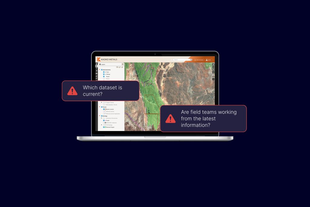
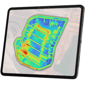
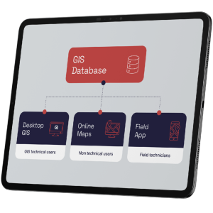
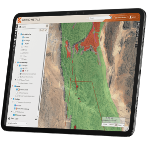
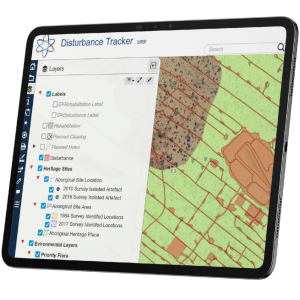
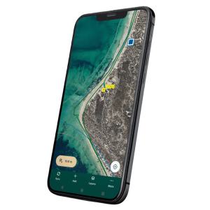
The GIS Pro PoW Tracker combines authorised Programme of Work information with actual drilling, cleared tracks, drill pads, disturbance and rehabilitation records.
It can compare:
- authorised holes with actual drilling
- approved clearing allowances with mapped disturbance
- disturbance with completed rehabilitation
- PoW records with drilling records that may be unmatched
Dashboards and exception tables give teams early visibility of PoWs approaching or exceeding authorised drilling and clearing limits.
They also help identify over-drilling, over-clearing, unmatched records and outstanding rehabilitation that require review.
The result is a more proactive operational and compliance process rather than a retrospective reconciliation at reporting time.