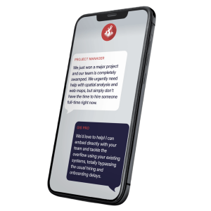
Field data collection that works in the real world
Make field capture simpler, more consistent, and easier to feed into the rest of your GIS workflow — from asset inspections to environmental monitoring and construction works recording.

Field data collection that works in the real world
Make field capture simpler, more consistent, and easier to feed into the rest of your GIS workflow — from asset inspections to environmental monitoring and construction works recording.
Many organisations still rely on paper forms, spreadsheets, or consumer apps to collect data in the field — then spend hours manually entering that information into a GIS or asset system back at the office. Data gets lost, duplicated, or entered inconsistently, and by the time it is in the system, conditions on the ground may have already changed.
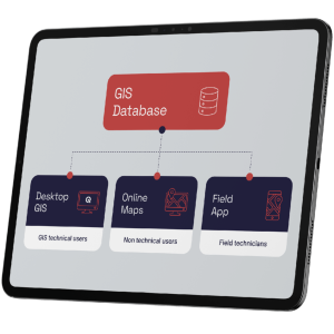
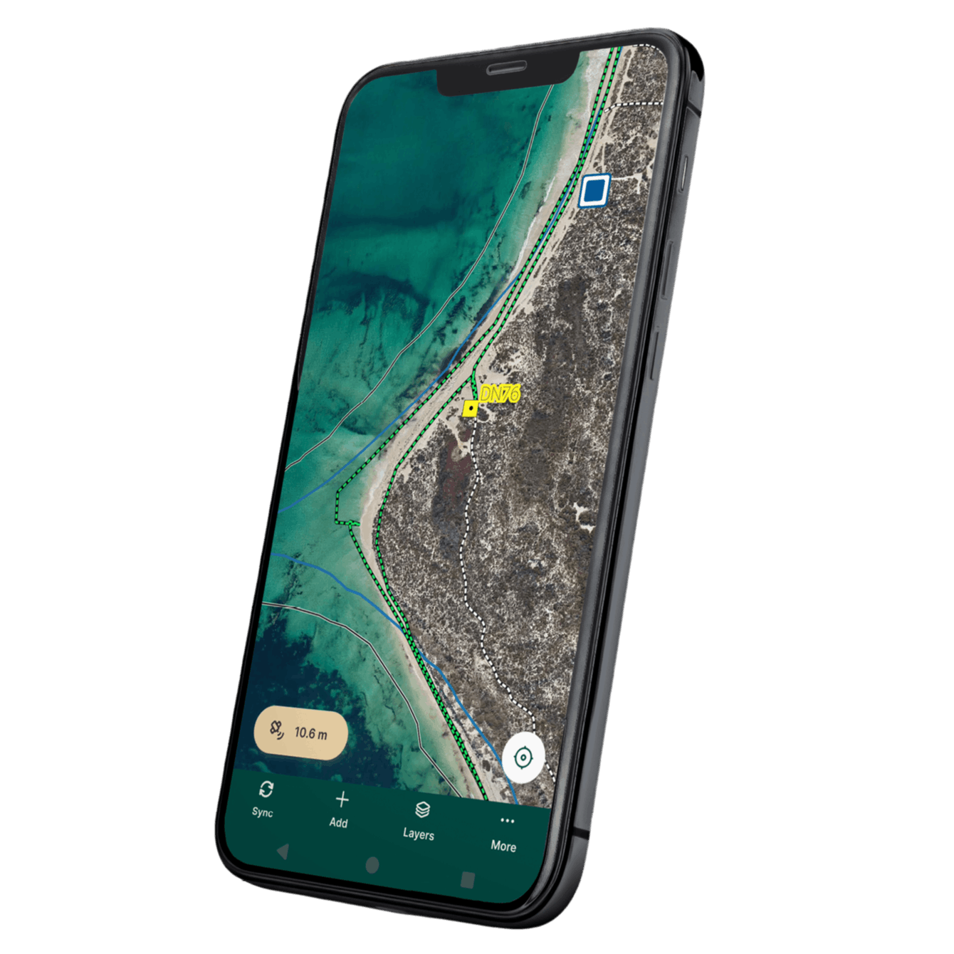
GIS Pro sets up field data workflows that eliminate these gaps. Data collected on-site flows straight into your central GIS database, so office staff see updates in near real time, and information only needs to be entered once.
We work with you to understand what data needs to be captured, by whom, in what context. We design forms, required fields, and data structures around your specific operational requirements.
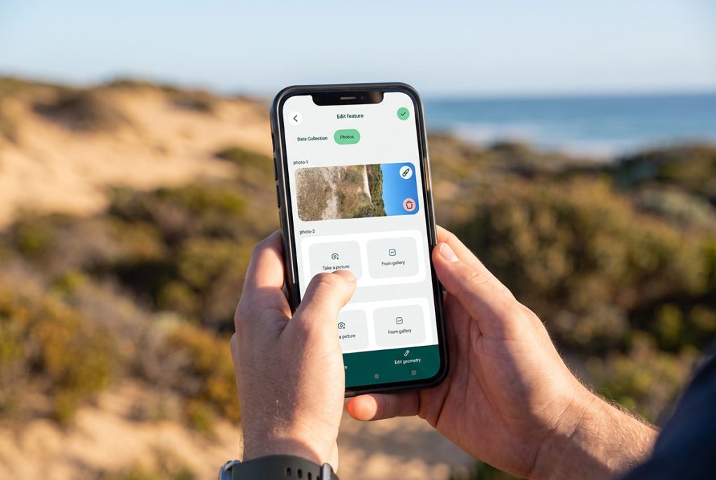
We set up mobile data collection projects using Mergin Maps, with custom forms, photo capture, and conditional logic built in. We test and validate before deployment.
We install and configure the app on field devices, train staff on how to use it, and confirm that data is syncing correctly to the central GIS database.
We support your team through the initial deployment and refine forms and workflows based on real-world feedback, so the system improves over time.
How is this used in mining and environmental compliance?
Sampling and drilling prorgams, Mapping field activities, disturbance, rehabilitation progress, and compliance monitoring — with offline capability for remote areas and an audit trail of all field records.
What assets can field staff inspect and record using the app?
Roads, paths, signs, drainage, coastal structures, and other infrastructure — inspected and recorded directly on a mobile device, with photos and GPS position captured automatically.
How does this work for environmental field work?
Environmental and vegetation assessments, species recording, disturbance mapping, and rehabilitation monitoring — with forms configured to match your specific data requirements and reporting obligations.
How do works crews use field collection?
Construction and maintenance works recording, including progress photos, location, works type, and completion status — data that flows directly into asset or project management systems.
Can this be used for heritage or cultural recording?
Heritage surveys and cultural resource recording with custom forms designed around specific recording standards, photo documentation, and GPS-referenced locations.