Web maps for every audience
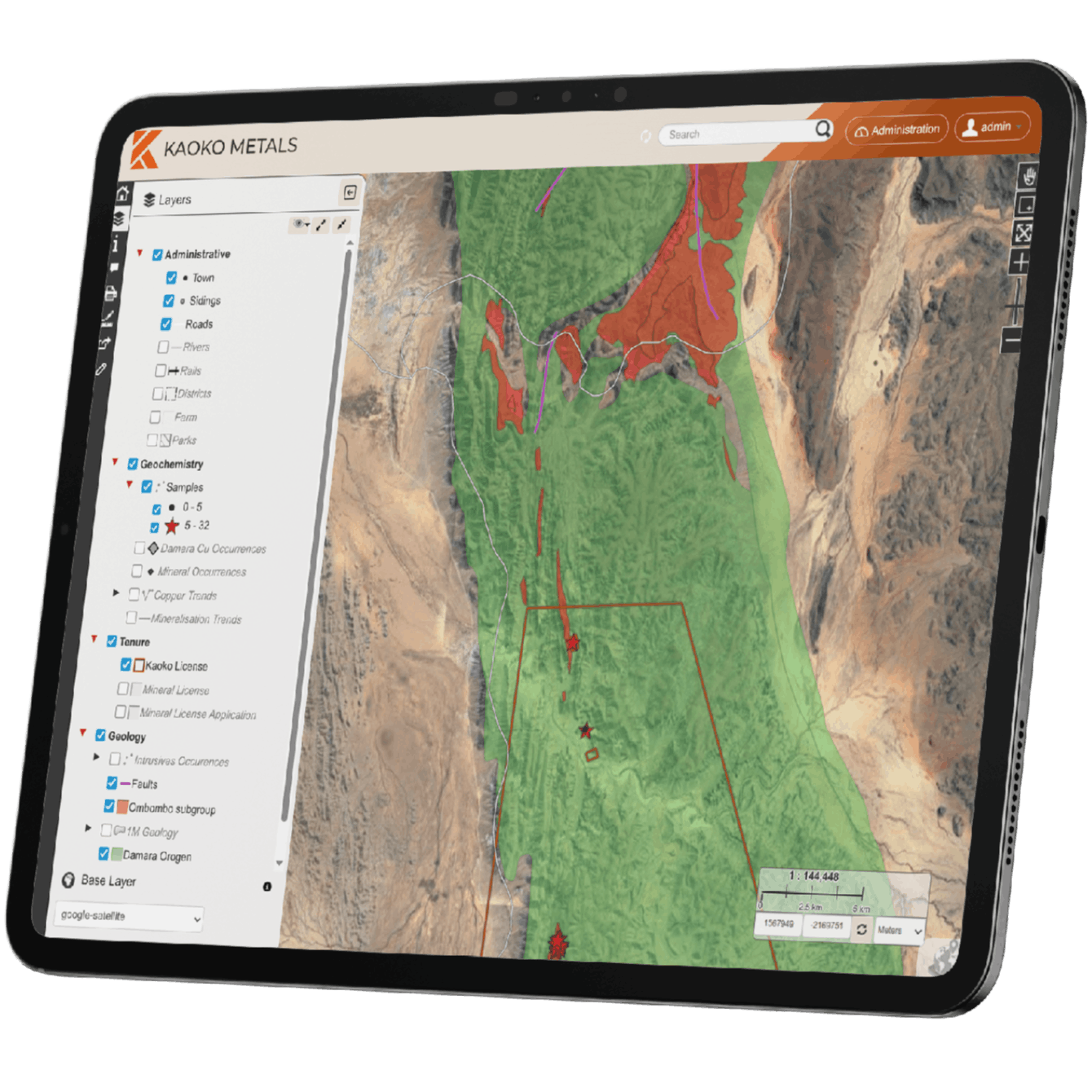
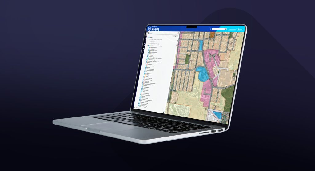
We configure browser-based web maps tailored to different audiences and use cases — from internal planning tools to public-facing community portals — making spatial data accessible to everyone without specialist software.

Web maps for every audience
We configure browser-based web maps tailored to different audiences and use cases — from internal planning tools to public-facing community portals — making spatial data accessible to everyone without specialist software.
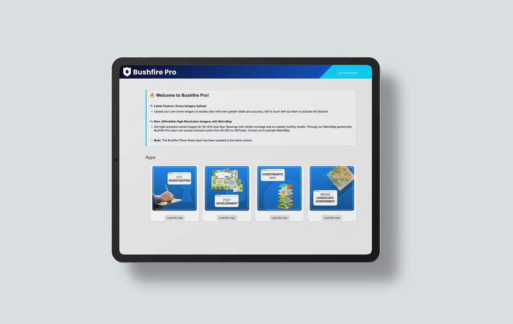
Most organisations have spatial data that could help staff make better, faster decisions — but it lives in specialist desktop software that most people cannot access or use. Planners print PDFs, field crews work from paper maps, and management rely on static reports.
The result is that GIS delivers value to one team instead of the whole organisation. Web maps change that by putting the right spatial information in front of the right people, in a format they can actually use.
We start by understanding who will use the map, what decisions it needs to support, and what spatial data is available. Different audiences need very different things from a web map.
We design the map interface, configure layers, set up role-based access, and build print templates and search tools around your specific workflows.
Maps draw directly from your spatial database or authoritative sources, so information stays current without manual updates. We configure automated synchronisation where needed.
We train your team on using and maintaining the web map, and provide documentation so you are not dependent on us for day-to-day management.
Who uses this and what can they do with it?
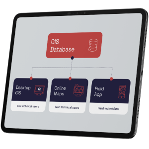
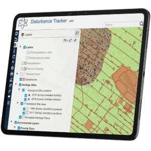
Authorised staff can view, search, filter, and print maps of assets and environmental layers. They can draw new features, update data, and run simple filters and queries to support day-to-day decisions — all from a browser.
How do mobile users access and interact with the map?
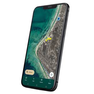
Simple, mobile-friendly maps showing the locations and status of assets, works in progress, and maintenance jobs. Field staff can update records directly without needing to contact the GIS team.
What do senior staff see?
High-level dashboards and spatial overviews that help senior staff understand what is happening across the organisation — without needing GIS training or specialist software.
What information can the community access?
Community portals sharing selected information: active projects, planning information, cycling and walking paths, public facilities, and environmental initiatives.