Find the bottlenecks in your GIS workflow
We assess your systems, tools, and processes and give you a practical roadmap for improvement — so you know exactly what to fix, what to keep, and what to invest in next.

Find the bottlenecks in your GIS workflow
We assess your systems, tools, and processes and give you a practical roadmap for improvement — so you know exactly what to fix, what to keep, and what to invest in next.

Many organisations sense their GIS is not delivering the value it should — but cannot pinpoint exactly why. Staff avoid the system. Reports are still produced manually. Data is duplicated. A specialist does everything while the rest of the organisation waits.
The problem is rarely the software. It is usually a combination of configuration, data quality, workflow design, and adoption — issues that are hard to diagnose from the inside.
A structured review gives you an independent view of what is actually happening, and a clear plan for what to do about it.
We start with a short briefing to understand your organisation, your current GIS setup, and the main concerns driving the review. We agree on scope, key stakeholders to interview, and the timeframe.
We review your existing tools, data sources, workflows, and integrations. We interview key staff to understand what is working, what is not, and where the biggest friction points lie.
We synthesise findings across systems, data, process, and capability — identifying root causes, not just symptoms.
We deliver a structured report with prioritised recommendations — practical steps you can take in the short, medium, and long term to improve your GIS environment.

What tools and systems do you have, and how well are they being used?
We document your existing GIS tools, data sources, workflows, and user roles — and assess how well they are serving the organisation today.
Is your spatial data reliable enough to support decisions?
We assess the quality, currency, and structure of your spatial data, identifying duplication, gaps, and inconsistencies that affect the reliability of your GIS outputs.
Where are the gaps between your GIS and the systems around it?
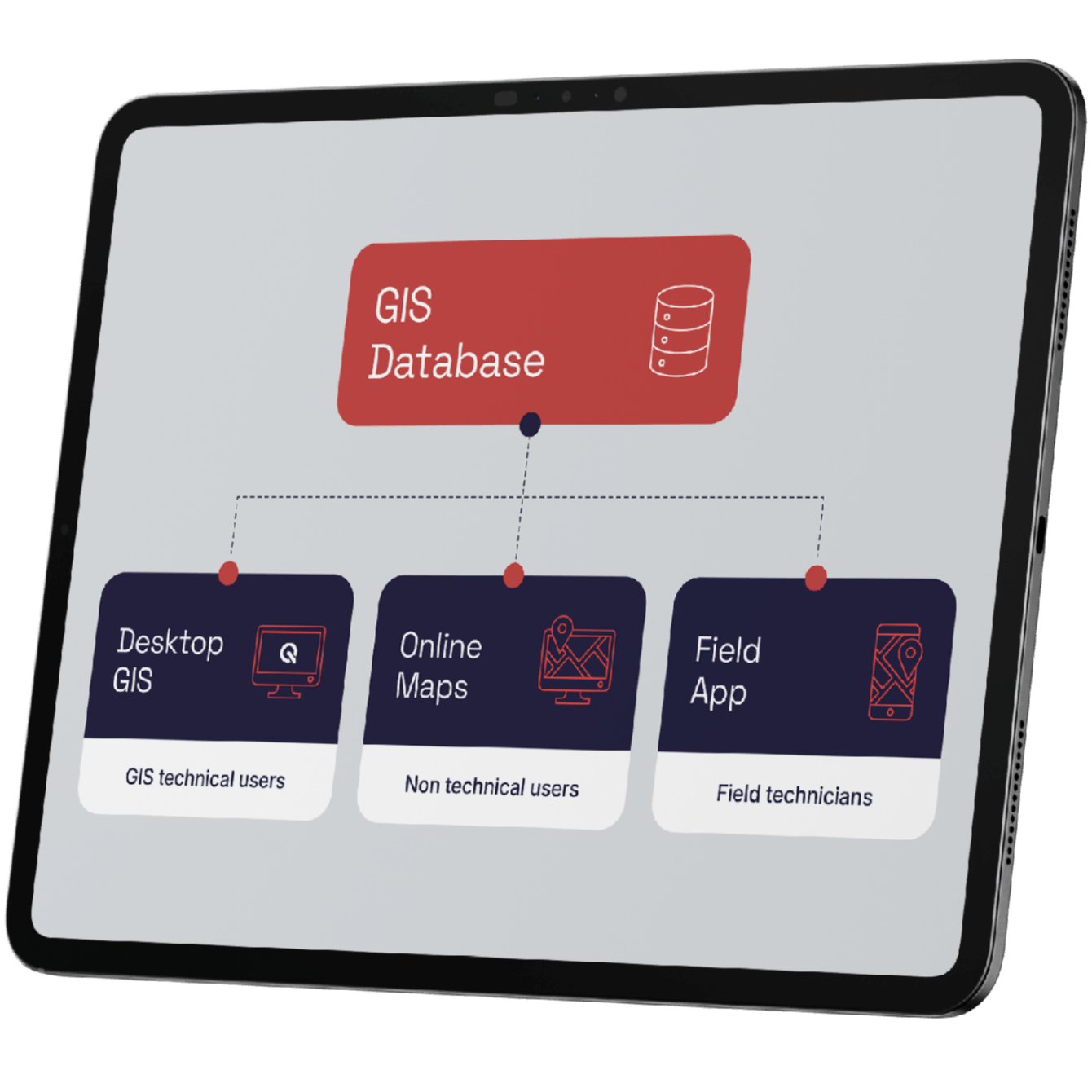
We evaluate how well your GIS environment integrates with adjacent systems — asset management, CRM, geology database — and where integration gaps create friction or rework.
Who can actually use your GIS, and who avoids it?
We assess the spread of GIS capability across your organisation — who uses the system confidently, who avoids it, and what changes would improve adoption.
What should you do next, and in what order?
We deliver prioritised recommendations with practical steps for the short, medium, and long term — so you have a clear path forward, not just a list of problems.