Spatial analysis that supports real decisions
GIS Pro turns raw spatial data into analysis that supports real operational, planning, and risk decisions — helping organisations understand constraints, compare options and support defensible decisions.

Spatial analysis that supports real decisions
GIS Pro turns raw spatial data into analysis that supports real operational, planning, and risk decisions — helping organisations understand constraints, compare options and support defensible decisions.

Most organisations hold more spatial data than they know what to do with.
It sits in layers, spreadsheets, and databases — rarely synthesised into something decision-makers can actually use. The challenge is not collecting data; it is turning it into defensible, actionable insight.
Without structured analysis, teams rely on gut feeling, incomplete reports, or time-consuming manual processes to answer spatial questions that should take minutes, not days.
We start by working with you to define the spatial question clearly — what decision needs to be made, what data exists, and what level of defensibility the output requires.
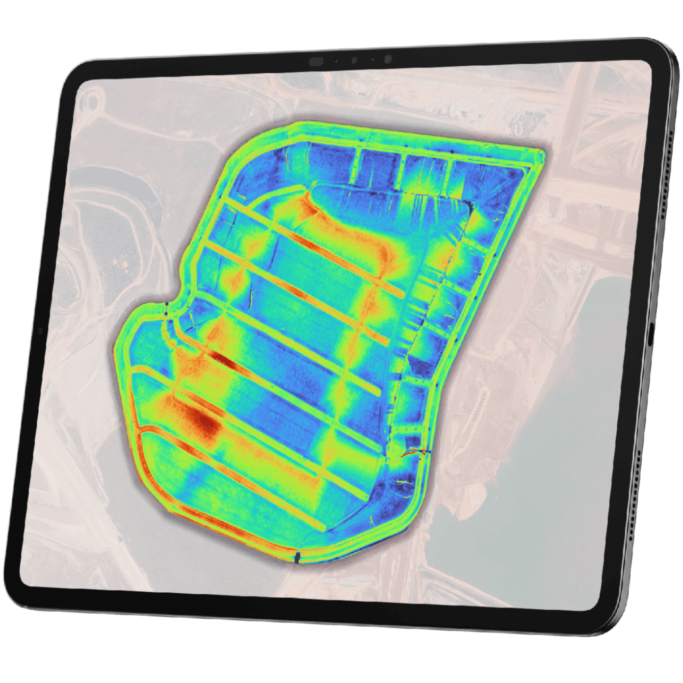
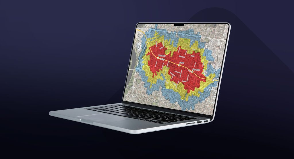
We run the appropriate analysis — constraint overlays, network models, catchment delineations, hotspot analysis, or multi-criteria analysis — using your data and authoritative datasets.
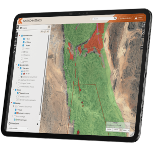
Results are delivered as maps, dashboards, or structured reports ready for briefings, council reports, regulatory submissions, or community engagement.
We work across the full range of spatial analysis types — from quick constraint checks to complex multi-criteria modelling. The right approach depends on your question, your data, and the decisions you need to support.
What constraints could affect this site or project?
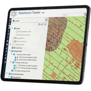
Overlay planning zones, environmental constraints, heritage areas, service infrastructure, and land tenure to support development applications, strategic planning, and land-use decisions.
Where are the gaps or weak points in the network?
Assess road, path, drainage, or utility networks for coverage gaps, capacity issues, and connectivity. Used by transport planners, asset managers, and infrastructure teams.
Where are the environmental constraints that could affect this site or project?
Environmental constraint analysis for planning, compliance, and natural resource management.
Which areas need more attention, resources, maintenance, or investigation?
Identify spatial patterns in incident data, service demand, asset condition, or population distribution. Useful for resource allocation, risk management, and community planning.
Which location is the best fit based on your criteria?
Multi-criteria spatial analysis to evaluate potential locations for facilities, infrastructure, or services based on defined criteria — distance, access, constraint, demand.
How can we produce repeatable maps, dashboards, or reports that support ongoing decisions?
Spatial analysis delivered as maps, dashboards, or structured reports ready for briefings, council reports, regulatory submissions, or community engagement.