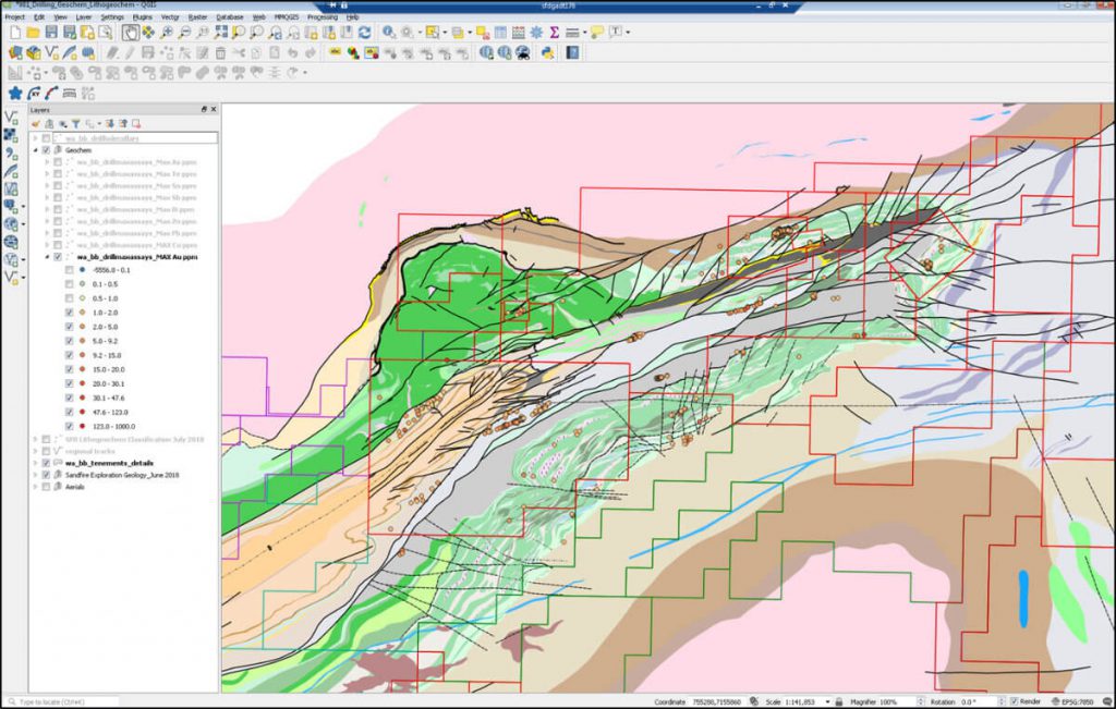
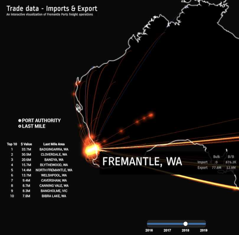
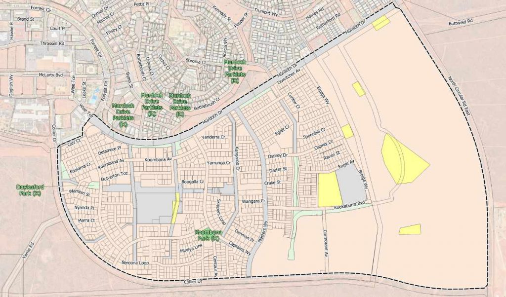
GIS Pro assisted Sandfire Resources with reorganising and managing spatial data collected during the exploration process.
The Challenge
Sandfire Resources GIS database became unmaintained and geologists couldn’t rely on the data anymore.
GIS Pro advised and implemented a new GIS system which would require a relatively low level of maintenance.
The Solution
GIS Pro built a new GIS system integrating existing databases with spatial layers to map, track and stay up to date with on-going operations.
QGIS was part of the solution as the GIS package of choice to visualise and maximise access to spatial data across the company.
The Outcome
The work done not only allowed Sandfire Resources to quickly regain GIS capabilities but it also enabled new usage and simplified existing workflows.

Working with GIS Pro has exceeded our expectations. Vincent is a rare mix of an advanced database and GIS practitioner with a passion for open source development. This means he can creatively tackle complex projects with an almost unlimited toolkit and achieves results at much lower cost than if constrained to using traditional, proprietary software. I would happily recommend GIS Pro to anyone seeking bespoke spatial development services.
Rob Healy
Project Geologist at Sandfire Resources


