

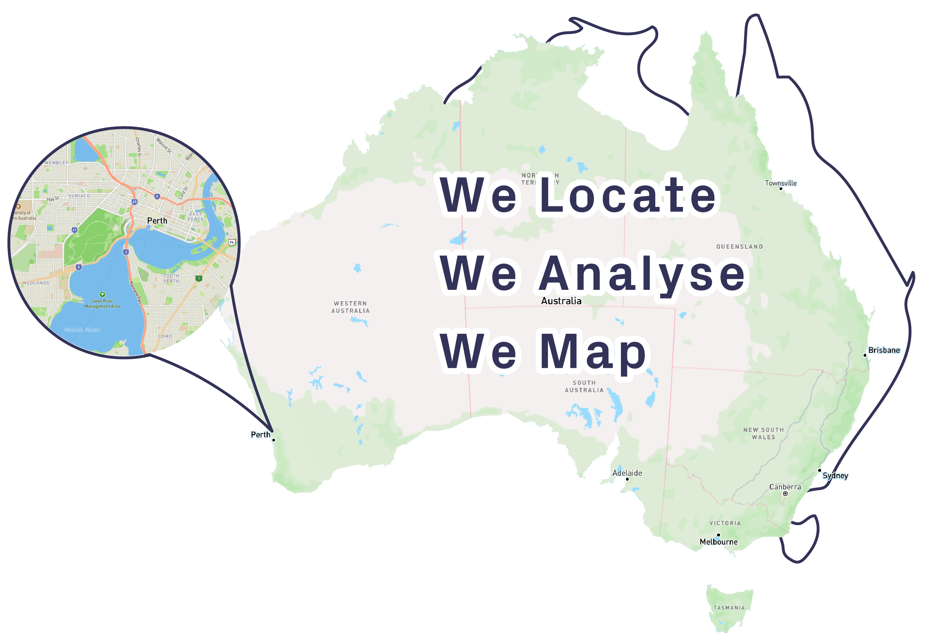
GIS solutions that drive success
Delivering Comprehensive GIS Enterprise Solutions for Mining, Exploration, Corporate Businesses, and Local Government.
Our Expertise
We deliver powerful GIS solutions that maximise the value of your spatial data and streamline workflows.
From enterprise systems to customised services and hands-on training, we equip your team with the tools and expertise to succeed.

Enterprise GIS Solutions
A Full-Stack GIS Solution integrating QGIS Desktop, Field Data Collection, Web Maps, and Dashboards into a corporate environment. Ideal for agile teams in Mining, Corporate Business, and Local Government.

GIS Services
Comprehensive GIS project support from planning to execution. We help you maximise the value of your spatial data through insightful analysis, custom mapping, and automation, enhancing productivity and enabling better decision-making.

Training
Practical GIS training designed to empower professionals with the skills they need to drive their operations.

Staff Augmentation
Extend your team with experienced GIS professionals to meet project demands, bridge skill gaps, and enhance your organisation’s GIS capabilities without long-term commitments.
Trusted GIS Experts
Our Commitment: We work closely with our clients to understand their needs and deliver GIS solutions that drive success.


What Our Customers Say
Featured Projects
We've partnered with organisations of all sizes across Western Australia. Saving them time, money and effort with solutions that give them a competitive edge.
View all our projects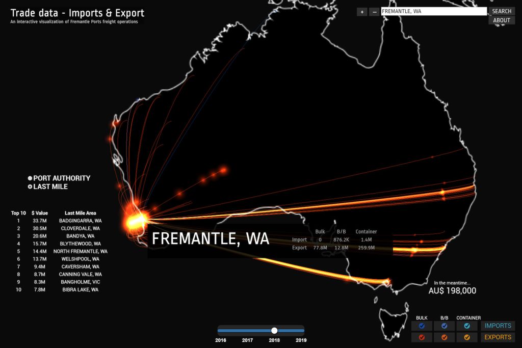
3D Trade Data Visualisation
GIS Pro delivered an innovative 3D Data Viz providing Fremantle Ports with new insights on Trade imports & exports; mapping shipments journey from origin to last mile destination.
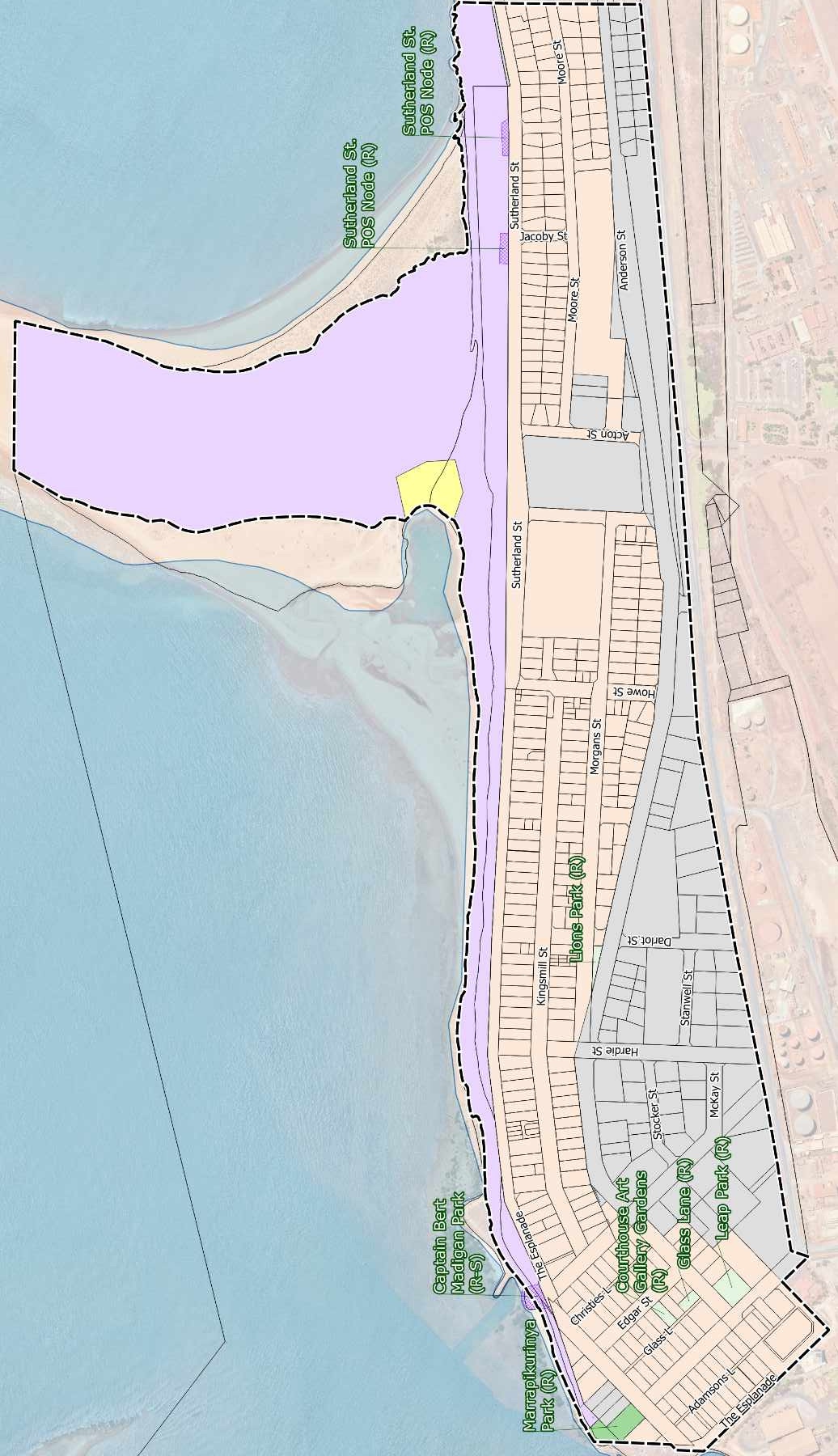
Port Hedland Public Open Space Strategy
GIS Pro supported UDLA with developing Port Hedland’s Public Open Space Strategy.

Deep Yellow
GIS Pro worked with Deep Yellow Ltd to reorganise their spatial data and deploy a new GIS system relying on our favourite technologies: PostGIS and QGIS.