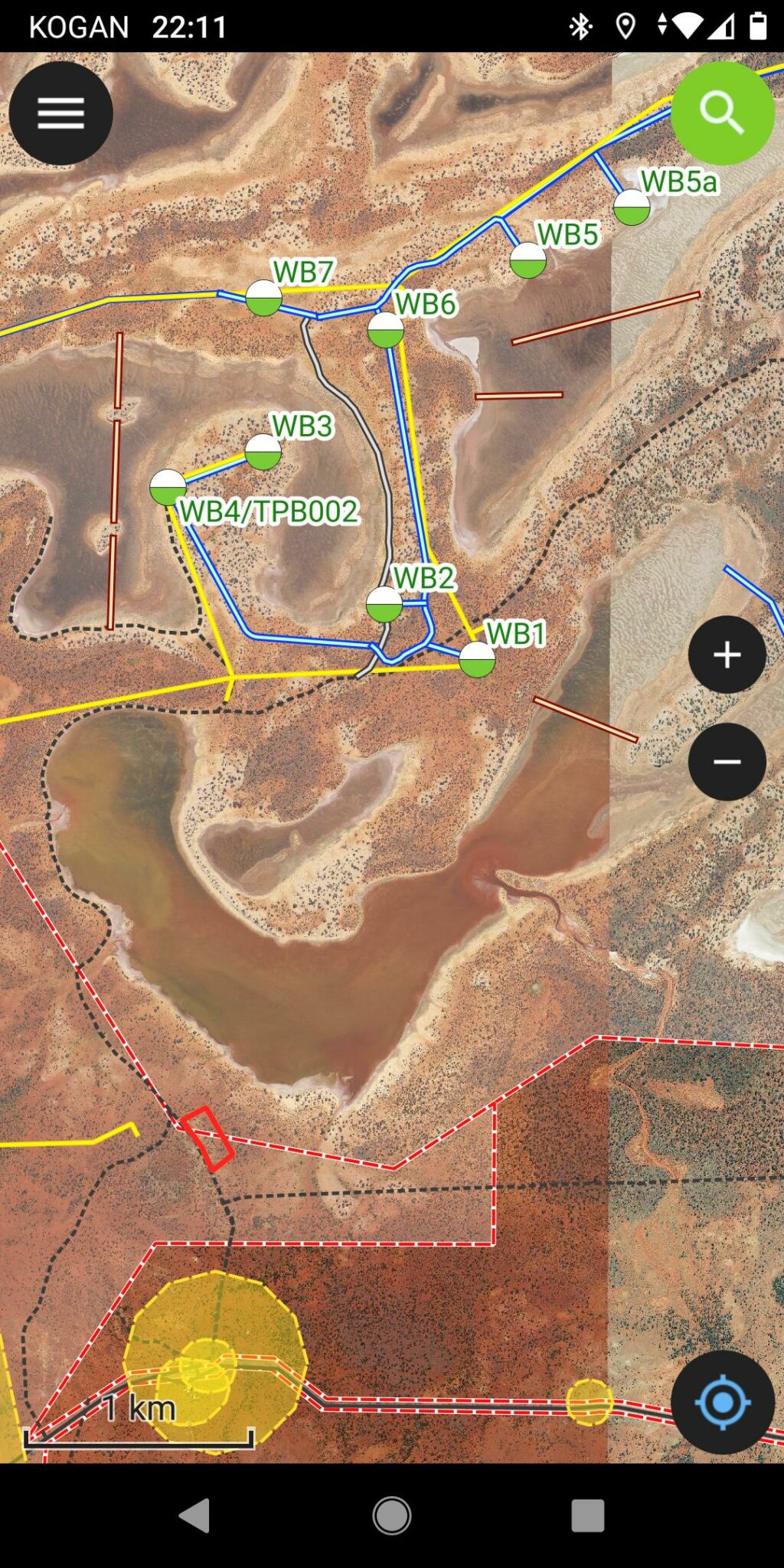
GIS Solution for Australian Potash

GIS Pro deployed a cost effective open source GIS architecture based on QGIS to support the business operations. From future mine development, environmental issues, hydrology, to geophysics, GIS information is readily available to the whole team on the web, on QGIS desktop or on mobile device on the field.

The Challenge

Australian Potash contacted GIS Pro after looking to establish a cost effective GIS system. Proprietary licensed software proved to be expensive and offered a limited access/capabilities. Australian Potash trusted GIS Pro to rollout an efficient GIS architecture based on QGIS that would benefit the whole project team.

The Solution

We deployed a flexible GIS infrastructure composed of a spatial database powering a suite of GIS tools; including QGIS desktop, a mobile app and a web portal.
This made GIS accessible to everyone regardless of technical abilities.


The Outcome

Being able to access the GIS system without limitations, easily print maps and carry GIS information on the field gave Australian Potash a productive tool to plan and manage their operations.

More Projects

3D Trade Data Visualisation
Data Visualisation
Long-term Cycle Network for Perth and Peel
Transport and Planning
Port Hedland Public Open Space Strategy
Urban Planning

Get in touch

Contact us about GIS consulting services now.