What Can We Help You With
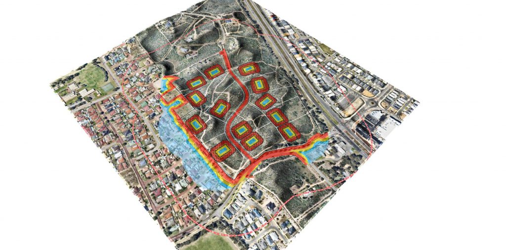
For years now, we have been assisting bushfire consultants, land developers and many more specialities in between to get to grips with the accurate bushfire planning information in Western Australia. By choosing GIS Pro, you’ll benefit from:
- Streamlined GIS workflow, saving you time when compiling bushfire studies
- Access to dedicated online bushfire map apps to facilitate work and collaboration
- A cost-effective solution to your bushfire mapping needs
- Peace of mind regarding information accuracy and relevance

Who is this service for?
No matter the size of your enterprise, we’re always happy to work closely and in collaboration with bushfire consultancy businesses to establish cost effective workflow, without sacrificing quality. We can especially help:
- Consultants – notably those that require flawless maps to assist their clients with bushfire planning
- Land developers – especially those that need accurate information for planning
We understand more than most just how beneficial accurate data can be, particularly when it comes to safety and security. With our services, you’ll be able to relax in the knowledge that all information is as precise as possible, whilst benefitting from user-friendly GIS system and maps to save yourself time and effort.
To learn more, simply get in touch with our team today. We’ll be happy to offer advice and support, or to discuss your project requirements.
