


Streamline Exploration and Mining Operations with Comprehensive GIS Solutions
Empowering explorers with real-time data access, streamlined field operations, and GIS accuracy for informed decision-making.
Our GIS Solutions for Mining and Exploration
Streamline data capture, land access, environmental compliance, and data sharing, enabling your team to operate more efficiently and make smarter, data-driven decisions in the field and beyond. Tailored to the needs of the mining industry, our system is fully customisable, offering the flexibility required by modern explorers.
Trusted by Leading Companies
We’re proud to work with some respected names in mining and exploration, helping them leverage GIS to drive results and improve efficiencies.


Features and Benefits

Digital Field Data Capture
Overview: Integrate MerginMaps with your GIS solution for efficient field data capture, featuring two-way synchronization to keep updates accurate and timely.
Benefits: Designed specifically for field teams, this adaptable solution allows on-site staff to collect, access, and update data from any location, enhancing both precision and decision-making.
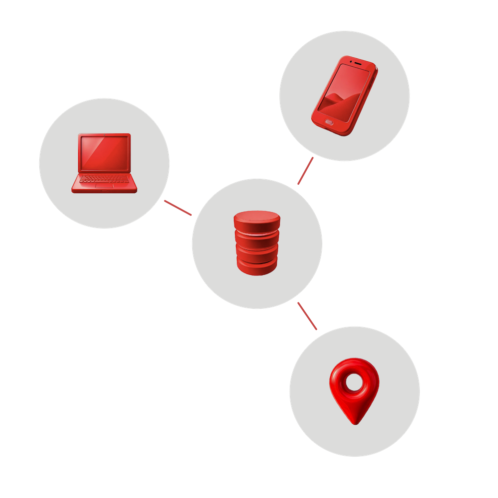
Centralised Data Services
Overview: Bring together both public and proprietary spatial data in a single platform, ensuring that your team always has access to the latest information.
Benefits: With comprehensive, real-time data available for analysis and reporting, your team can make informed decisions and operate with confidence.

Land Access
Overview: Easily organise landowner details, permissions, and access information through an integrated, interface.
Benefits: Access permission details from both desktop and field devices, streamlining land access processes, reducing administration time, and ensuring regulatory compliance.

Environmental Compliance Tracking
Overview: Effortlessly manage environmental clearances and monitor rehabilitation progress, ensuring compliance with tracking and GIS-enabled reporting tools.
Benefits: Easily manage environmental clearances, monitor rehabilitation progress, and automate compliance reporting for requirements such as the Mining Rehabilitation Fund and Annual Environmental Reporting in Western Australia.
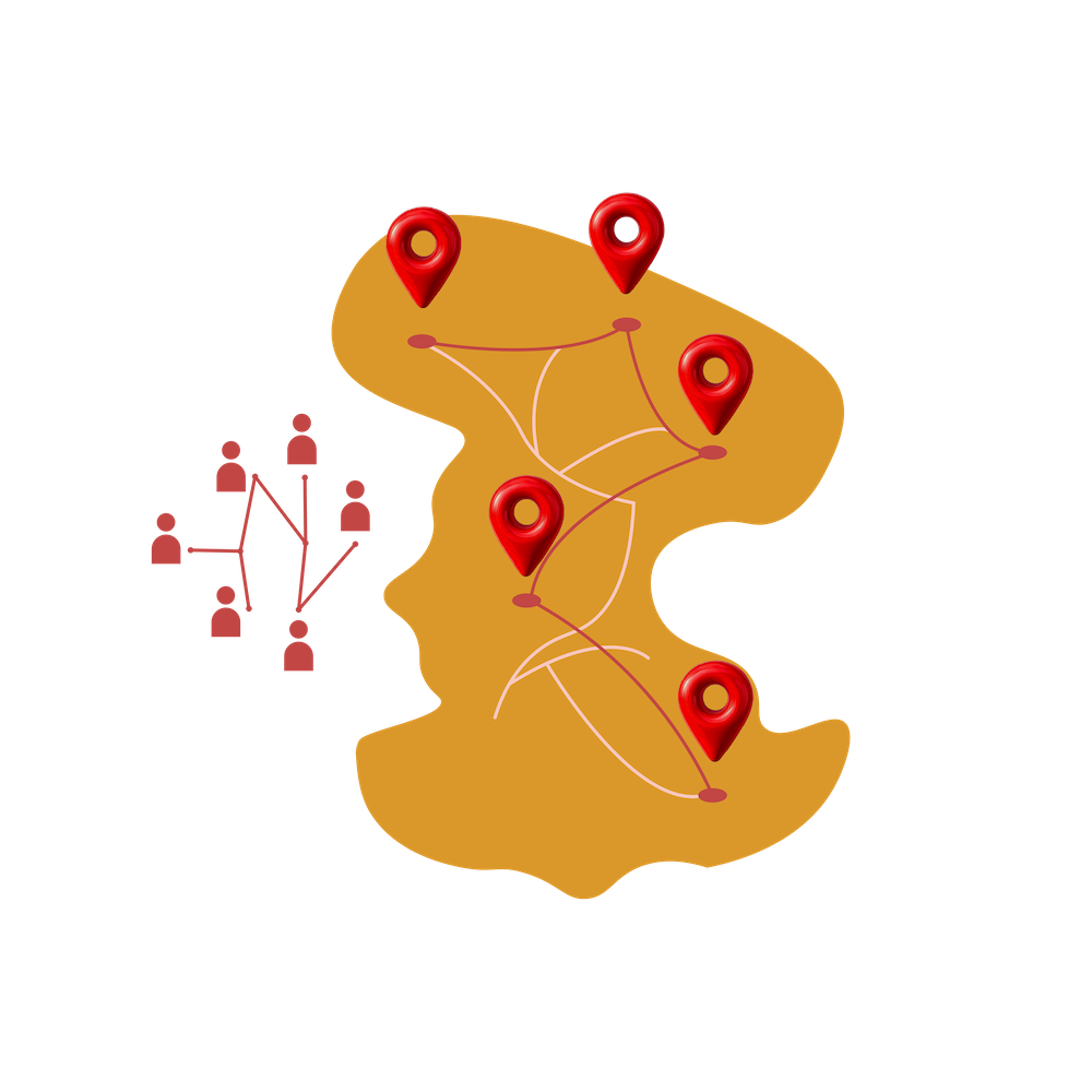
Interactive Web Mapping
Overview: Share real-time project progress through interactive maps, easily accessible to both team members and stakeholders.
Benefits: Foster collaboration and ensure everyone stays informed through easy-to-navigate web maps, allowing both GIS specialists and non-technical users to access critical project information.
Our Technology Stack
We use a robust, open-source tech stack to power our GIS solutions, providing flexibility, scalability, and cost savings without compromising on quality.
Comprehensive desktop GIS software for analysis and data management.

Seamless field data collection with real-time synchronisation.

A web portal for your web maps.

The World's Most Advanced Open Source Relational Database.
Simple, Predictable Pricing
GISPro’s Enterprise GIS Solution offers a range of pricing tiers to accommodate different organisational needs. Pricing is based on your data requirements and company scale, ensuring a solution that’s both tailored and cost-effective. Contact us to discuss which plan would best suit your organization.
Pricing Tiers:

Core
$500/month
Perfect for small teams or single-department use.
Enhanced
$800/month
Best for large teams or complex organisations.
Tailored
Designed for organisations with unique requirements. Contact us for pricing.