


Optimise Local Government Operations with a Complete, Cost-Effective GIS Solution
A tailored GIS solution for data-driven decision making, community engagement, and infrastructure management.
Acknowledging Common Challenges in Local Government GIS
Local governments face unique challenges when it comes to GIS solutions. Proprietary options can be prohibitively expensive, and associated cloud-based systems often lack transparency, leading to high and unpredictable costs.
Additionally, complex GIS architectures can be difficult to integrate with existing systems, creating inefficiencies and limiting the ability to fully leverage spatial data. These issues make it challenging for local governments to adopt a flexible, budget-friendly GIS solution that meets their needs.
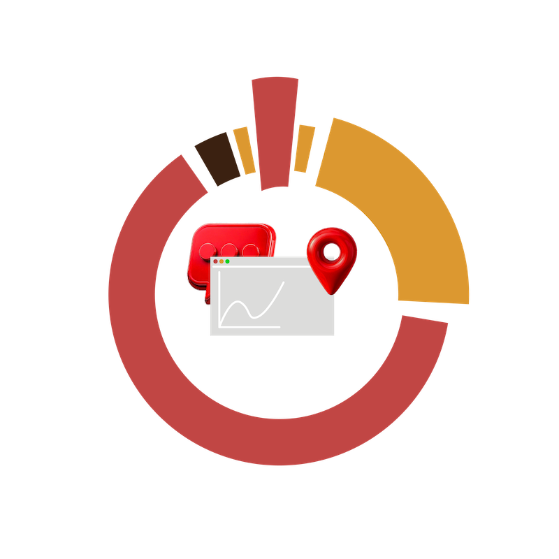
Overview of Our GIS Solution
Our GIS solution is built with the specific needs of local governments in mind. By utilizing trusted open-source technologies like QGIS, we deliver a full-featured, cost-effective alternative to traditional GIS systems. Our solution offers desktop GIS, real-time field data collection, web mapping, and customizable dashboards, all fully integrated to streamline operations and enhance decision-making. Unlike other systems, our approach is designed to be flexible, affordable, and easy to integrate with your existing infrastructure.
GIS Analysis and Reporting
Overview: Powerful desktop GIS with QGIS enables detailed spatial analysis without the need for costly licenses.
Benefits: Provide your team with robust analysis tools for data-driven decision-making, all while maintaining a budget-friendly solution.

Real-Time Field Data Collection
Overview: Collect data in the field using mobile devices with MerginMaps, ensuring real-time synchronisation and accuracy.
Benefits: Improve the quality and speed of data collection processes, enabling field teams to gather, update, and share data instantly with the main system.

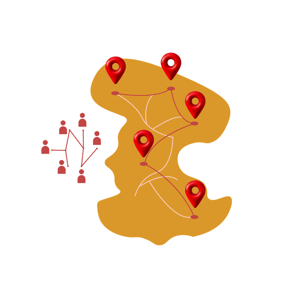
Centralised Data Management
Overview: Store all GIS data in a centralised, secure environment, creating a single source of truth for all spatial information.
Benefits: Maintain data integrity and make it easily accessible to different departments, enhancing collaboration and reducing data silos.
Interactive Web Map Portal
Overview: Provide a user-friendly web map portal that allows team members and stakeholders to view, edit, and interact with spatial data.
Benefits: Foster greater transparency and engagement by allowing all users, regardless of technical skill, to access critical spatial information.

Customised Dashboards and Reporting
Overview: Create custom dashboards and reports that display key metrics, making it easy for government officials to track progress and outcomes.
Benefits: Support informed decision-making by providing clear, visual insights into ongoing projects and initiatives.

Compliance and Security
Overview: Hosted securely in Australia, with regular updates to meet the latest compliance and security standards.
Benefits: Ensure your data remains protected under Australian laws, with cybersecurity measures in place to prevent data breaches.
Simple, Predictable Pricing
GISPro’s Enterprise GIS Solution offers a range of pricing tiers to accommodate different organisational needs. Pricing is based on your data requirements and company scale, ensuring a solution that’s both tailored and cost-effective. Contact us to discuss which plan would best suit your organisation.
Pricing Tiers:

Core
$500/month
Perfect for small teams or single-department use.
Enhanced
$800/month
Best for large teams or complex organisations.
Tailored
Designed for organisations with unique requirements. Contact us for pricing.